About Us
TRUE NORTH Surveying and Mapping, LLC (TRUE NORTH), founded in 2008 is a Veteran Owned Small Land Surveying Business located in Littleton, Colorado, whose PASSION is providing the highest quality boundary surveying, right-of-way and mapping services for array of clients on their water, power, transportation, renewable energy and development projects.
Veteran-Owned Small Business (VOSB)
REALITY & EFFICIENCY – in today’s world, with today’s equipment a majority of the surveying work completed is performed by a one man survey crew, drafted by one cad technician and signed and sealed by one Professional Land Surveyor. At TRUE NORTH all three steps are completed by one person, who is a Professional Land Surveyor. This is proven to increase efficiency, provide a superior product due to project ownership, all for a fee 10 to 15% less than our competitors.
RAPID RESPONSE – One of the most valuable things TRUE NORTH can provide our clients is our rapid response in emergency situations. Our team can meet with the client within a few hours notice.
PRACTICE AREAS – TRUE NORTH can provide surveying services in Colorado with extensive experience in Douglas County.
LEADERSHIP – Bill Buntrock PLS is the Owner/President and founder of TRUE NORTH. He has been practicing land surveying since 1988 and is licensed in Colorado, Kansas, Arizona, Utah and Idaho. His experience and records have been certified with the National Council of Examiners for Engineering and Surveying (Certificate No. 1135).
Bill is currently on the Board of Directors for the Colorado State Board of Licensure for Architects, Professional Engineers and Professional Land Surveyors (DORA) (Term 1 2017-2021) (Term 2 2021-2025).
Previously, Bill was on the Board of Directors for the Professional Land Surveyors of Colorado (2011-2015) and was a Past-President (2008) of the Central Colorado Professional Surveyors, which is a chapter of the Professional Land Surveyors of Colorado.
He was appointed to the Land Survey Monitor Panel (2008-2010) for the Colorado State Board of Licensure, and sat on the Advisory Committee for the Westwood College Surveying and Mapping Program (Denver, Colorado).
He is also an active member of the Professional Land Surveyors of Colorado, and a proud member of the Society of the Third Infantry Division (United States Army), where he served as the group Secretary for Colorado Outpost 88 Hiroshi Miyamura.
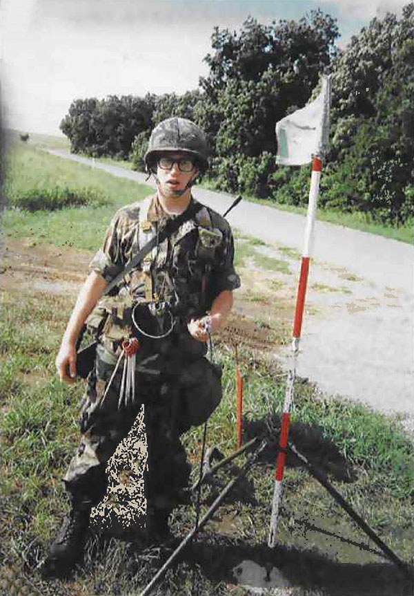
Bill proudly served his country as a field artillery surveyor in Schweinfurt Germany, 3rd Infantry Division, United States Army (1988 to 1992 Cold War/Gulf War Era) and the Colorado Army National Guard (1992 to 1994).
Services
UTILITY DESIGN AND TRANSPORTATION
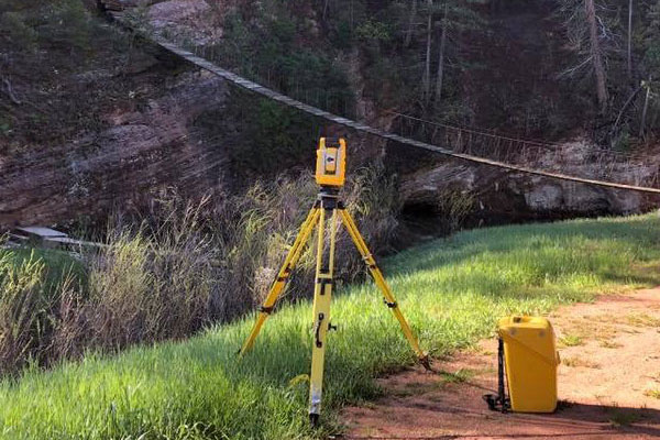
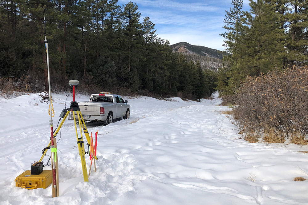
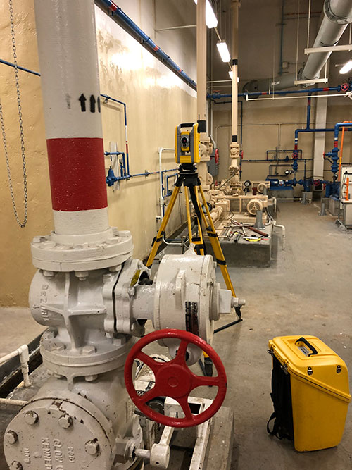
TRUE NORTH is focused on Utility Design Surveys on Water, Wastewater, Fiber and Transportation Projects. These projects focus on above and below utilities, property ownership, right-of-way, easements, primary and secondary survey control, surface improvements and contours.
WATER AND WASTEWATER projects are a passion which is deeply imbedded in TRUE NORTH’s founder, and will be obvious during the proposal, field & office work and finally the deliverables.
TRUE NORTH works with the SUE Engineer of record along with the other team members (Underground Utility Locate, Aerial / UAV Mapping and Pothole Consultants.
TRUE NORTH’S founder has extensive Colorado Department of Transportation Right of Way experience but projects are currently focused only at the City and County level.
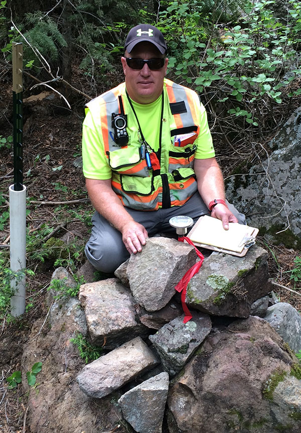
ENVIRONMENTAL AND MONITORING WELL SURVEYING
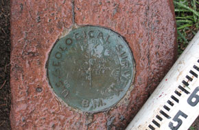
TRUE NORTH will establish state plane coordinates (grid/ground) and obtain elevations on monitoring wells. This information will be provided to the Environmental Engineer in a AutoCAD format.
ALTA/NSPS TITLE SURVEYS
ALTA Surveys were developed by the American Land Title Association (ALTA) and the National Society of Professional Surveyors (NSPS) to create a nation wide standardized survey. TRUE NORTH can provide a ALTA/NSPS Land Title Surveys (ALTA) on your Commercial and Residential projects.
Please contact TRUE NORTH with any questions or for the current Minimum Standard Detail Requirement for ALTA/NSPS Land Title Surveys including the Table A Check list.
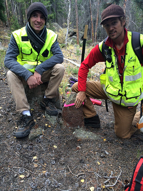
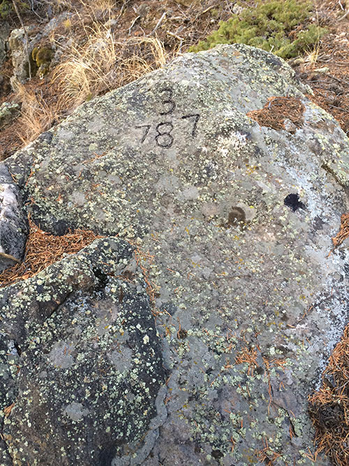
MINING CLAIM SURVEYS
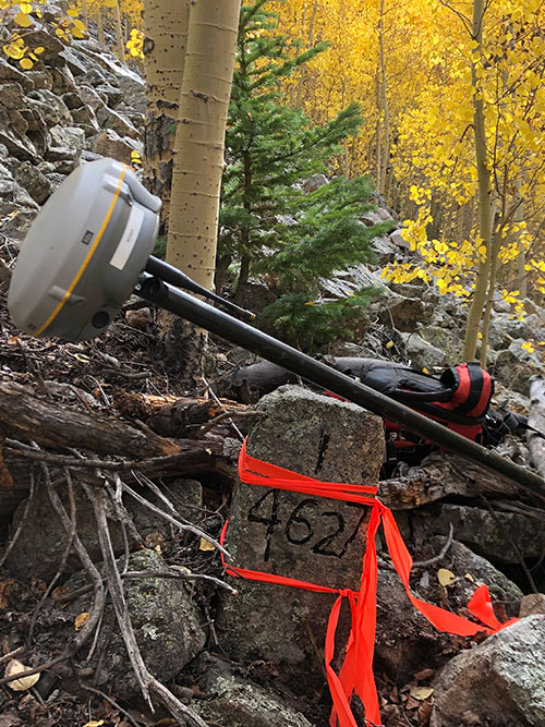
Mining Claim surveys require a diligent search on site to find and locate the original mining claim stones along with research at the Bureau of Land Management and the County Clerk and Recorders Office.
HOME OWNER SURVEYING
TRUE NORTH provides land surveying services for homeowners on their property for various reasons including: Real estate closing, buying, selling, fence and property line clarifications, legal descriptions, drainage issues, setback requirements, etc…
Improvement Location Certificates (ILCs) – Purpose: Real estate closing, buying, selling and general lot information. It is important to note that an ILC IS NOT a boundary survey. All property information is shown per recorded information. An ILC may or may not show your property corners. TRUE NORTH does not recommend a ILC on metes and bounds parcels of land or property located in the mountains. Lastly, TRUE NORTH does not provide ILCs services but highly recommends Columbine Surveying at 303-972-8000.
FEMA Flood Elevation Certificate – A FEMA Elevation Certificate is used to determine if commercial or residential building are located in an existing flood plain.
Land Survey Plat (LSP) – Purpose: Real estate closing, buying, selling and actual property information. A LSP is a boundary survey and it will show all property information, fence lines, buildings and found property pins. Missing property pins will be set. Per Colorado Law, this survey will be recorded with the county that the property resides in. A LSP only shows property line and property information, easements, building and fence lines.
Improvement Survey Plat (ISP) – Purpose: Real estate closing, buying, selling and actual property information. An ISP shows all the information that a LSP does, but per the client’s request, may include: Contours, landscaping, improvements, etc… As with the LSP, Colorado Law requires that this survey be recorded with the county that the property resides in.
Legal Description and Exhibits and Quit Claim Documents: – Purpose: Subdividing, defining or Quit Claim property and creating easement (Access, Ingress and Egress, Utility). These types of documents may require legal representation. TRUE NORTH can create the survey related documents; an Attorney would create the legal related documents.
Service Areas
TRUE NORTH can provide surveying services in Littleton, Lakewood, Aurora, Centennial, Lone Tree, Castle Rock, Perry Park, Highlands Ranch, Parker, Larkspur, Sedalia, Denver, Denver Metro, Colorado Springs, Franktown, all of Douglas, Park, Denver, Adams, Arapahoe, El Paso, Jefferson Counties and the State of Colorado. Generally our surveying schedule to start a new project after written notice to proceed is 4 to 6 weeks out.
Contact Us
LOCATION OF OFFICE – TRUE NORTH is located in Douglas County – Littleton, Colorado; we have immediate access to South Santa Fe Drive, which connects to all major corridors. Our team can meet with our client’s staff within a few hours notice.
EMPLOYMENT – TRUE NORTH is not currently hiring Professional Land Surveyors, Survey Project Managers, Party Chiefs, Instrument Operators, Office Technicians or AutoCAD drafters. For future reference, resumes can be emailed to us.
STUDENTS – As a small business, TRUE NORTH subsidizes staff levels on some projects by utilizing surveying and mapping students. If you are currently a survey student looking for hands on experience, please email your resume to us.