Home Owner Surveys

HOME OWNER SURVEYING SERVICES
CHECK OUT OUR REFERENCES – TRUE NORTH has a strong list of client testimonies from homeowners.
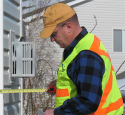
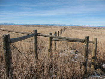
 TRUE NORTH provides land surveying services for homeowners on their individual lots for various reasons including: Real estate closing, buying, selling, fence and property line clarifications, improvements “garages, decks, etc…” lot subdivision, legal descriptions, drainage issues, setback requirements, etc…
For more detailed information, please contact us at Info@TRUENORTHsurvey.com
The most common surveys for these types of circumstances are:
Improvement Location Certificates (ILC’s) – Purpose: Real estate closing, buying, selling and general lot information. It is important to note that an ILC IS NOT a boundary survey. All property information is shown per recorded information. An ILC may or may not show your property corners.
FEMA Flood Elevation Certificate – A FEMA Elevation Certificate is used to determine if commercial or residential building are located in an existing flood plain. More information on FEMA Elevation Certificates can be found at by clicking here.
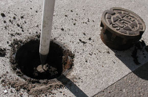
Land Survey Plat (LSP) – Purpose: Real estate closing, buying, selling and actual property information. A LSP is a boundary survey and it will show all property information, fence lines, buildings and found property pins. Missing property pins will be set. Per Colorado Law, this survey will be recorded with the county that the property resides in. A LSP only shows property line and property information, easements, building and fence lines.
Improvement Survey Plat (ISP) – Purpose: Real estate closing, buying, selling and actual property information. An ISP shows all the information that a LSP does, but per the client’s request, may include: Contours, landscaping, improvements, etc… As with the LSP, Colorado Law requires that this survey be recorded with the county that the property resides in.
ALTA/NSPS Land Title Surveys (ALTA/NSPS) – Purpose: Real estate closing, buying, selling and actual property information. More information on ALTA/NSPS’s can be found by clicking here.
Design / Contour / Topographic Surveys – Purpose: Lot improvements, drainage issues and general lot information. These surveys are usual used for improvements to your property. An Architect or Professional Engineer may require this type of survey before designing improvement on your property.
 Plot Plans / Site Plans – Purpose: Adding garages or additions to your house. These types of surveys are often required in a submittal package to the city or county authorities.
Subdivision Plats and 35 Acre Surveys: – Purpose: Subdividing property. These types of surveys are part of an actual submittal package to the city or county authorities in which the property resides in. TRUE NORTH can help guide you with these requirements, and will suggest you meet with the city or county planner to determine which procedure will be required on your property.
Legal Description and Exhibits and Quit Claim Documents: – Purpose: Subdividing, defining or Quit Claim property and creating easement (Access, Ingress and Egress, Utility). These types of documents may require legal representation. TRUE NORTH can create the survey related documents; an Attorney would create the legal related documents.
A pamphlet created by the Professional Land Surveyors of Colorado on “WHY DO I NEED A SURVEY” can be viewed and downloaded by clicking here.
VETERAN OWNED SMALL BUSINESS – TRUE NORTH is a certified small business and is a Veteran Owned Small Business (VOSB).
REFERENCES – TRUE NORTH has a strong list of client testimonies from homeowners.

